|
CLOUDS
|
|
HOME | BIOLOGY | FILMS | GEOGRAPHY | HISTORY | INDEX | MUSIC | SOLAR BOATS | SPORT | SPONSORS |
|
Clouds can mean many things to different people. An artist will see clouds differentlyto an engineer. I am the latter and yet I see clouds for their beauty and as an indication of mood - the weather that is, NJK.
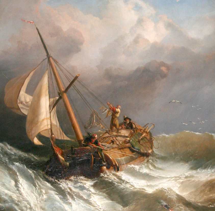
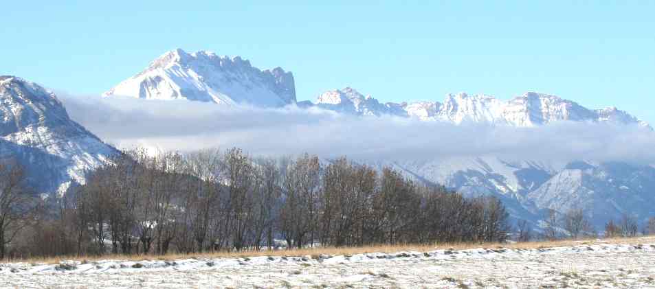
A cloudy, stormy sea
A cloud is a visible mass of condensed droplets, frozen crystals suspended in the atmosphere above the surface of the Earth or another planetary body, such as a moon. (Clouds can also occur as masses of material in interstellar space, where they are called interstellar clouds and nebulae.) The branch of meteorology in which clouds are studied is nephology.
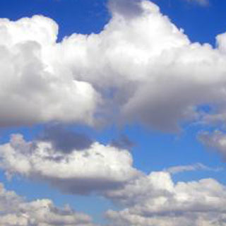
On Earth the condensing substance is typically water vapor, which forms small droplets or ice crystals, typically 0.01 mm in diameter. When surrounded by billions of other droplets or crystals they become visible as clouds. Dense deep clouds exhibit a high reflectance (70% to 95%) throughout the visible range of wavelengths: they thus appear white, at least from the top. Cloud droplets tend to scatter light efficiently, so that the intensity of the solar radiation decreases with depth into the cloud, hence the gray or even sometimes dark appearance of the clouds at their base. Thin clouds may appear to have acquired the color of their environment or background, and clouds illuminated by non-white light, such as during sunrise or sunset, may be colored accordingly. In the near-infrared range, clouds would appear darker because the water that constitutes the cloud droplets strongly absorbs solar radiation at those wavelengths.
Cloud formation and properties
1. The air is cooled below its saturation point. This happens when the air comes into contact with a cold surface or a surface that is cooling by radiation or the air is cooled by adiabatic expansion (rising). This can happen:
2. Clouds can be formed when two air masses below saturation point mix. Examples are: our breath on a cold day, aircraft contrails and Arctic sea smoke.
3. The air stays the same temperature but absorbs more water vapor into it until it reaches saturation point.
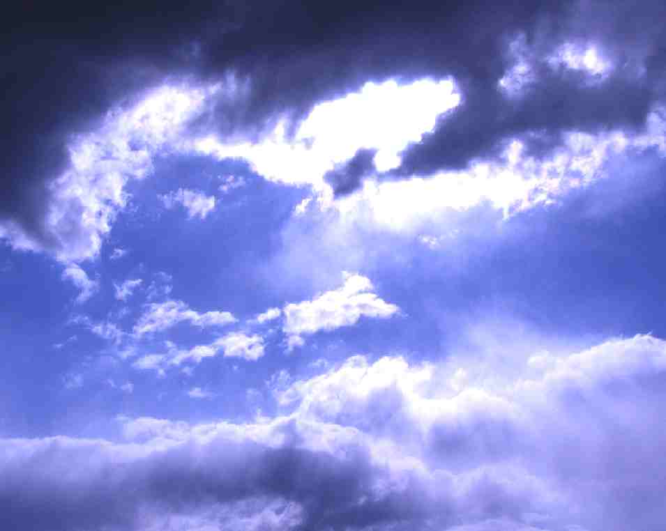
Sunlight blue skies bursting through storm clouds
The water in a typical cloud can have a mass of up to several million tonnes. The volume of a cloud is correspondingly high and the net density of the relatively warm air holding the droplets is low enough that air currents below and within the cloud are capable of keeping it suspended. Conditions inside a cloud are not static: water droplets are constantly forming and re-evaporating. A typical cloud droplet has a radius on the order of 1 x 10⁻⁵ m and a terminal velocity of about 1-3 cm/s. This gives these droplets plenty of time to re-evaporate as they fall into the warmer air beneath the cloud.
Most water droplets are formed when water vapor condenses around a condensation nucleus, a tiny particle of smoke, dust, ash or salt. In supersaturated conditions, water droplets may act as condensation nuclei.
The growth of water droplets around these nuclei in supersaturated conditions is given by the Mason equation.
Water droplets large enough to fall to the ground are produced in two ways. The most important means is through the Bergeron Process, theorized by Tor Bergeron, in which supercooled water droplets and ice crystals in a cloud interact to produce the rapid growth of ice crystals; these crystals precipitate from the cloud and melt as they fall. This process typically takes place in clouds with tops cooler than -15 °C. The second most important process is the collision and wake capture process, occurring in clouds with warmer tops, in which the collision of rising and falling water droplets produces larger and larger droplets, which are eventually heavy enough to overcome air currents in the cloud and the updraft beneath it and fall as rain. As a droplet falls through the smaller droplets which surround it, it produces a "wake" which draws some of the smaller droplets into collisions, perpetuating the process. This method of raindrop production is the primary mechanism in low stratiform clouds and small cumulus clouds in trade winds and tropical regions and produces raindrops of several millimeters diameter.
The actual form of cloud created depends on the strength of the uplift and on air stability. In unstable conditions convection dominates, creating vertically developed clouds. Stable air produces horizontally homogeneous clouds. Frontal uplift creates various cloud forms depending on the composition of the front (ana-type or kata-type warm or cold front). Orographic uplift also creates variable cloud forms depending on air stability, although cap cloud and wave clouds are specific to orographic clouds.
|
|
This
website
is Copyright © 1999 & 2007 NJK. The bird |
|
AUTOMOTIVE | BLUEBIRD | ELECTRIC CARS | ELECTRIC CYCLES | SOLAR CARS |